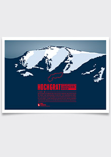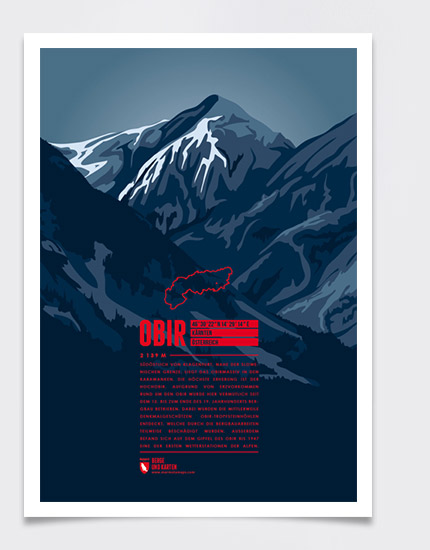
Southeast of Klagenfurt the Obir massif rises up in the Karawanks close to the Slovenian border. Its highest peak is the Hochobir. Starting presumably in the 12th century ore was mined around the Obir until the end of the 19th century. During these operations the Obir Dripstone Caves were discovered, though partially damaged by the mining work. On the summit of Hochobir one of the Alps' first weather stations was in operation until 1947.
Language:
Size:
More information about the different materials.
Elevation: 2139 m
Country and region: Austria, Carinthia
Mountain range: Karawanks
Prominence: 1071 m
Orometric dominance: 50
Coordinates: 46.506111, 14.487222
