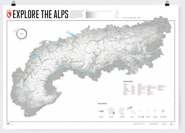
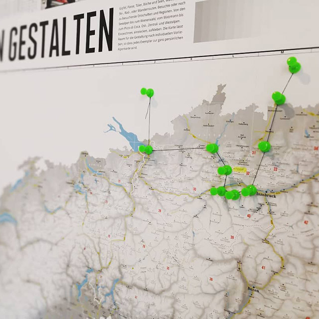
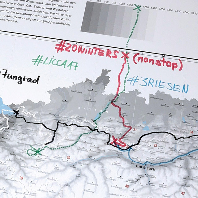
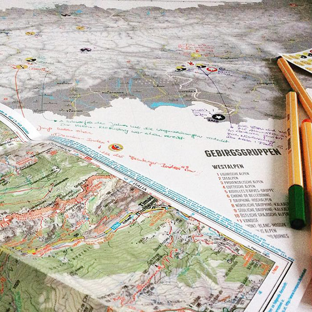
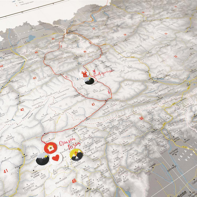
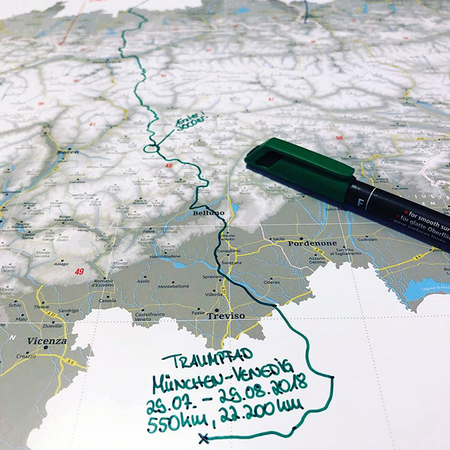
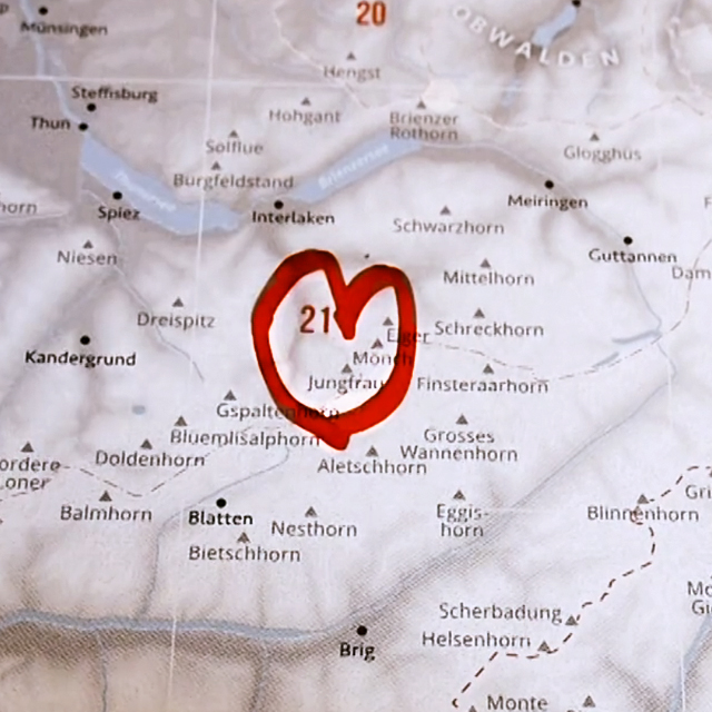
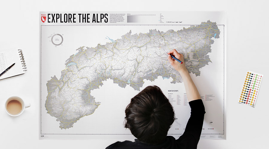
The map to draw your own special places in the Alps - summits, passes, valleys, creeks, forests, alpine pastures, ski-, biking- or hiking trails, villages and regions.
Edition 2: 01.12.2017
Size: 1000 x 700 mm
Print: digital print 200g matt
Language:English
ISBN: 978-3-946719-27-4
The Alpine maps are identical in content in all 3 formats and show the same entries and markings.
For size comparison:
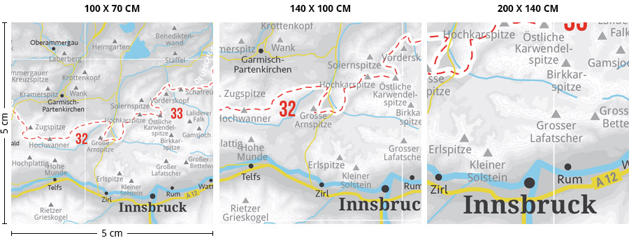
Our map
The backbone of our map consists of contour lines at intervals of 250 meter.
Thus, the map looks plastic and nicely displays the topography of the mountain range.
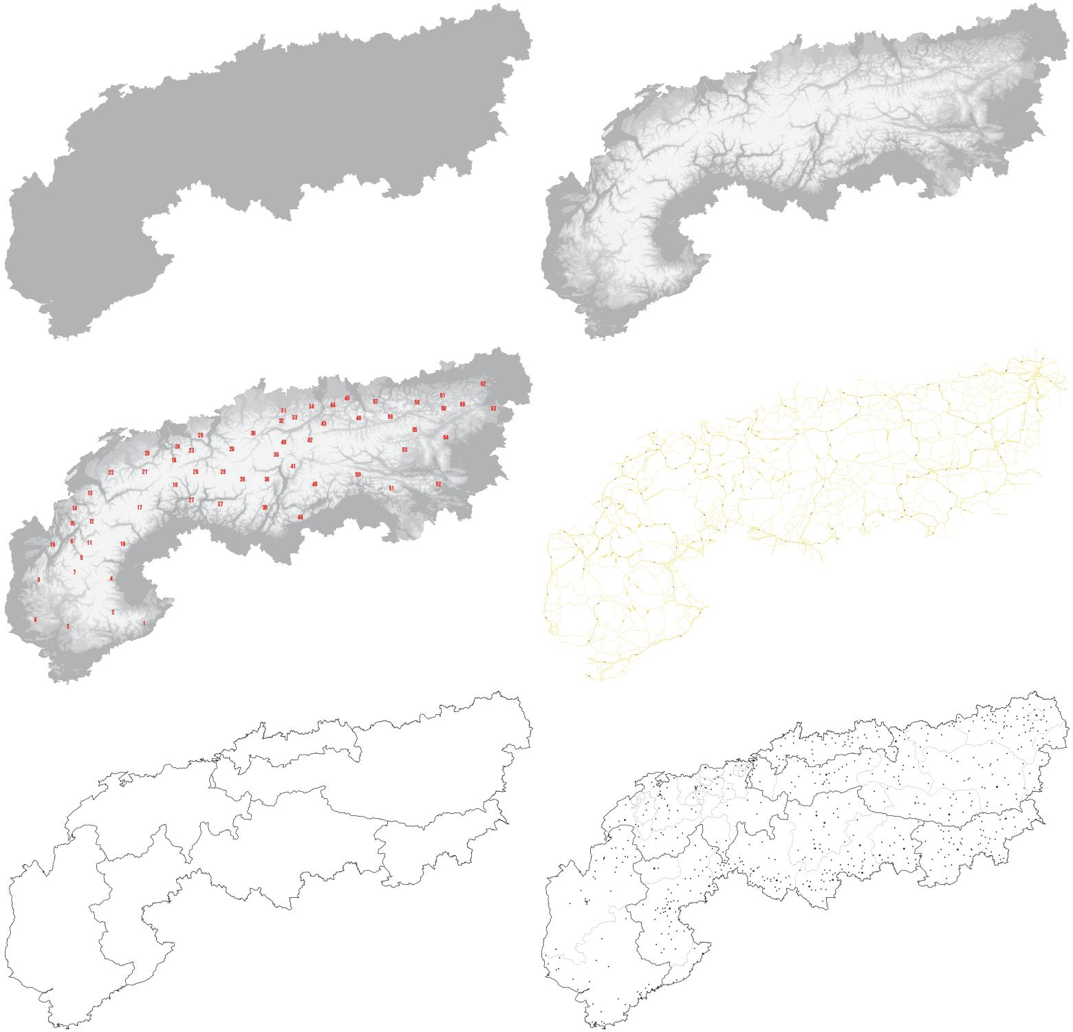
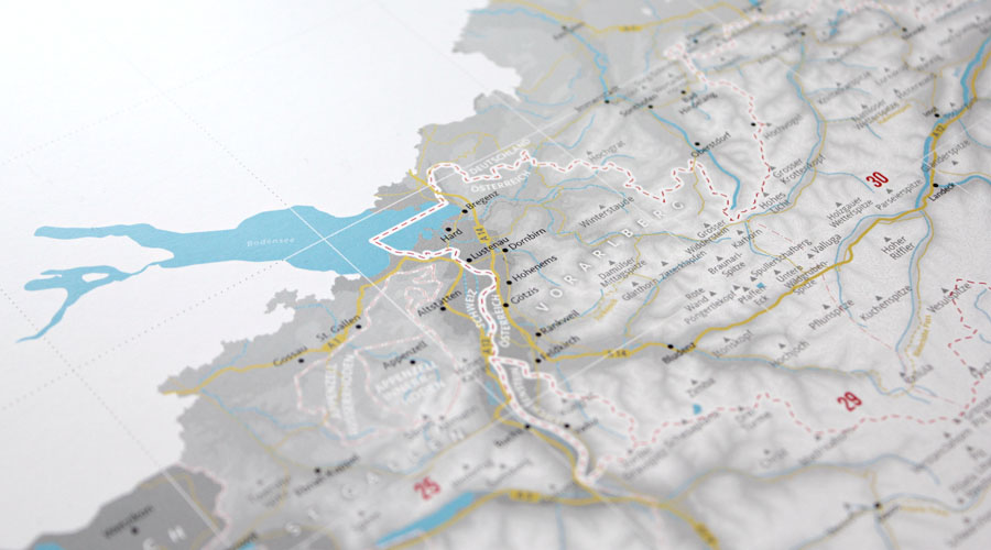
In order to have reference points, we show important towns, rivers and mountains, as well as the borders of the eight Alpine countries.
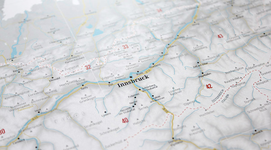
The map also shows the borders of the regions of the Alpine countries.
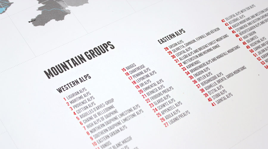
63 mountain ranges of the Alps, using the definition of Paul Zahn, are listed and displayed on the map.
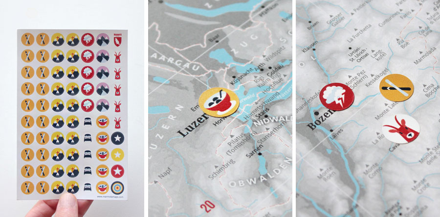
Marmota Stickers for our Alpine map
Our matching Marmota sticker set lets you mark your very own Alpine experiences.
Own Marks
The light map colors leave room to draw in your own marks.
We can recommend the following pens*:
Sharpie permanent,
Staedtler permanent,
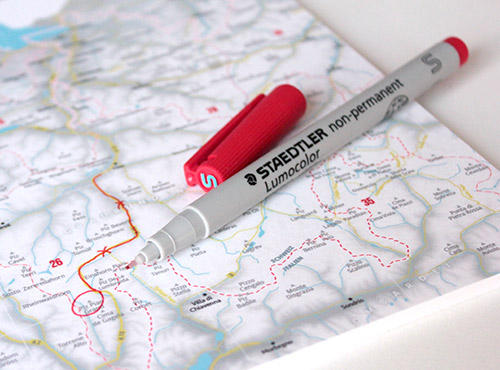
Staedtler non-permanent,
Schneider 240 permanent,
Edding 3000 permanent.
Marking on foamcore
For your own labels and markers on our foamcore maps we can recommend Staedtler non-permanent * markers. The writing can be removed afterwards, as needed, with a bit of water and a damp cloth.
* The following links lead you to product pages on the Amazon-website. They are so-called “affiliate links”, for which we earn a small share of the revenues. There is no data transfer to Amazon before visiting these links. Clicking on the links does not influence the prices for the end customers.
* only valid for the linked maps, and only while stock lasts.
