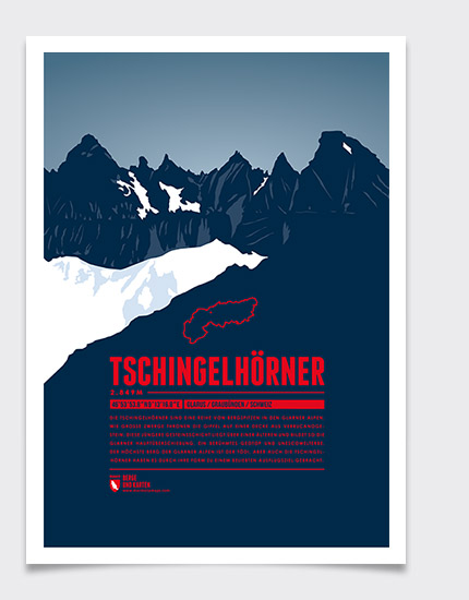
The Tschingelhörner are a multi-peak mountain in the Glarus Alps. Like giant dwarves the peaks reside above a layer of Verrucano formation. This young rock formation rests on top of an older one, together forming the Glarus thrust, a famous geotope and UNESCO World Heritage Site. Even though the highest mountain of the Glarus Alps is the Tödi, the Tschingelhörner's unique shape make them a popular tourist destination as well.

Language:

Size:

More information about the different materials.

€ 19.00

includes VAT plus shipping

add to cart

Elevation: 2849 m
Country and region: Switzerland, Glarus / Graubünden
Mountain range: Glarus Alps
Prominence: 109 m
Orometric dominance: 4
Coordinates: 46.898278, 9.221333
Our other prints:

See all our prints

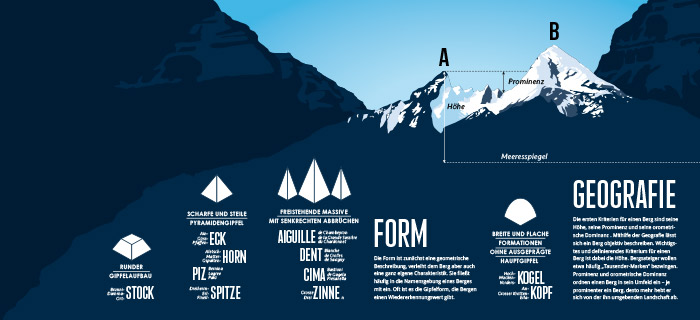
What defines a mountain?

The criteria for our mountain choices.

see more

Infographic - What defines a mountain?

on EXPLORE THE ALPS

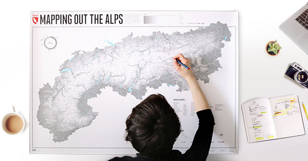
The map to draw your own special places in the Alps - summits, passes, valleys, creeks, forests, alpine pastures, ski-, biking- or hiking trails, villages and regions.

€ 25.00


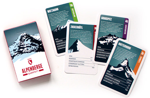
in our Quartet of the Alpine Mountains

and 31 other illustrated summits from all eight Alpine coutries, with information on each mountain in five categories.

€ 12.00

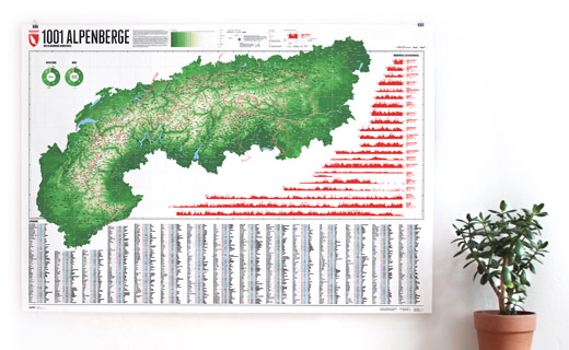
on our map of 1001 Alpine Mountains and 20 Trails

You can find and 1000 other mountains on our transnational map of the Alpine summits.

€ 60.00