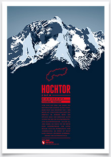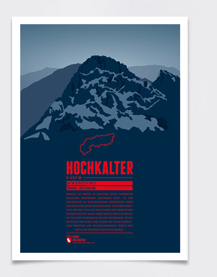
Even though less prominent than its famous eastern neighbour Watzmann, the Hochkalter in the massif of the same name is one of Germany's highest summits. On its northern slopes is the Blaueis, the northernmost glacier in the Alps. Further north is the Zauberwald – the “magical forest” full of rock fragments. It was created by a massive rockfall from the Hochkalter Massif about 4000 years ago, which also impounded the Hintersee lake.
Language:
Size:
More information about the different materials.
Elevation: 2607 m
Country and region: Germany, Bavaria
Mountain range: Berchtesgaden Alps
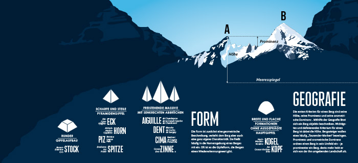
Prominence: 663 m
Orometric dominance: 25
Coordinates: 47.569167, 12.865556
