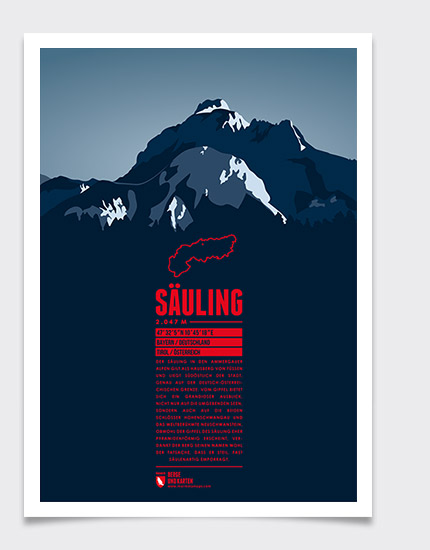
Located in the Ammergau Alps, on the German-Austrian border, Säuling is the landmark mountain of the town of Füssen, which is situated in the north west. The summit offers a spectacular view of the nearby lakes, and also of the two castles of Hohenschwangau and world-famous Neuschwanstein. Even though the Säuling's summit appears rather pyramid-shaped, its name is presumably derived from the German word “Säule” (pillar), since the mountain rises up steeply above the surrounding area.
Language:
Size:
More information about the different materials.
Elevation: 2047 m
Country and region: Germany, Bavaria / Austria, Tyrol
Mountain range: Ammergau Alps
Prominence: 695 m
Orometric dominance: 34
Coordinates: 47.535000, 10.755833
